Who’s up for helping to create a monster trail that connects all of Great Britain’s national parks?
We’ve got an extremely ambitious plan to create a trail that links all 15 of the UK’s national parks, the world’s first National Park City and a string of national landscapes – and we’d love your help to bring it to life.
The 3,834.5km (2,382.6 miles) monster-trail goes from Nairn to Plymouth and includes 249 Slow Ways. Walking 20km (12 miles) a day it would take nearly 200 days to walk the trail, giving hikers an absolutely incredible experience in the process.
You may have read about it in The Times or heard Dan Raven-Ellison talking about it on BBC Radio 4’s PM programme.
The trail was first drafted using our journey Planner, our new routing tool and suggestions from people across the country. Thank you to everyone who responded to our first story and helped with the drafting of the trail. This local knowledge and thinking has allowed us to refine where the trail should go.
Since the trail was drafted in the summer; 57% of routes have been reviewed, 13% of routes have been surveyed and 19% of routes verified. In total, that’s 1,834km of 3,834km reviewed! The next challenge is to walk, run or wheel the remaining routes, checking, reviewing and verifying them in the process. Can you help?
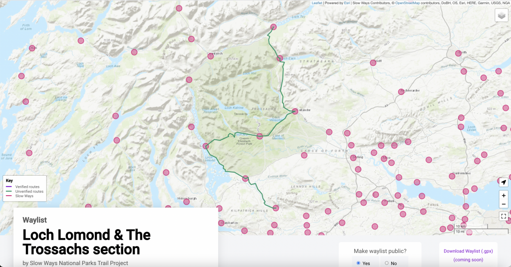
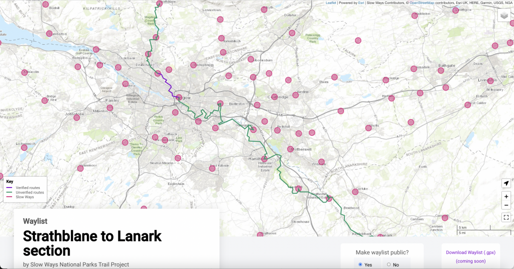
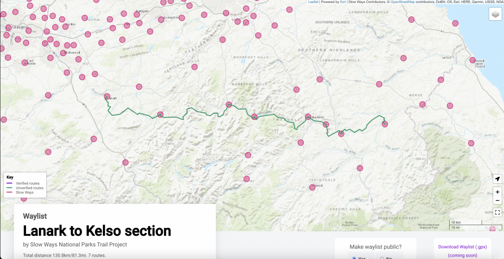
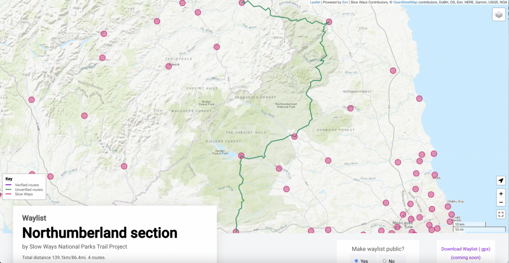
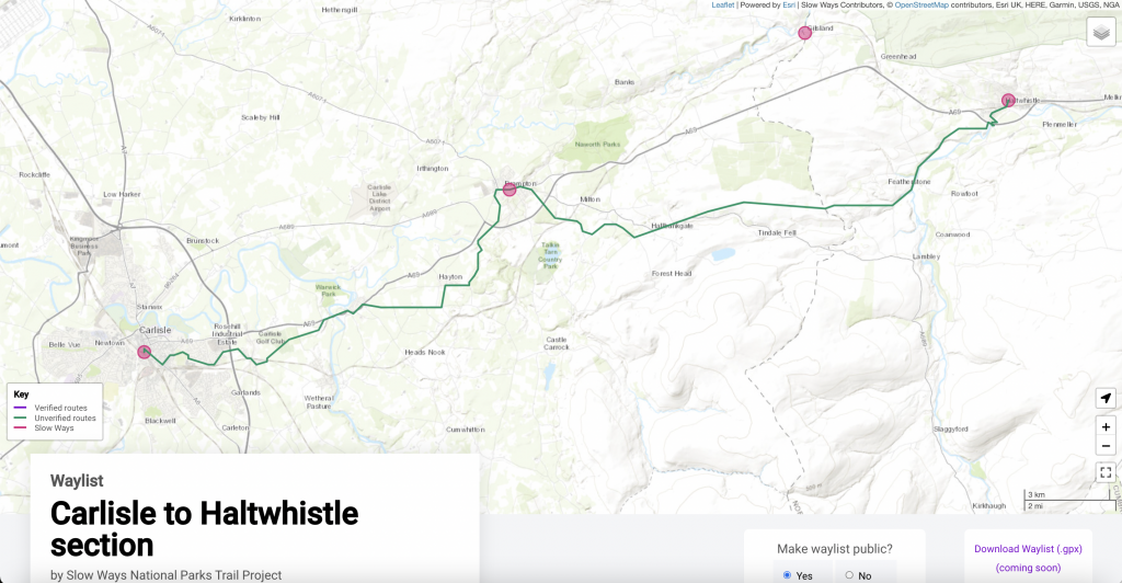
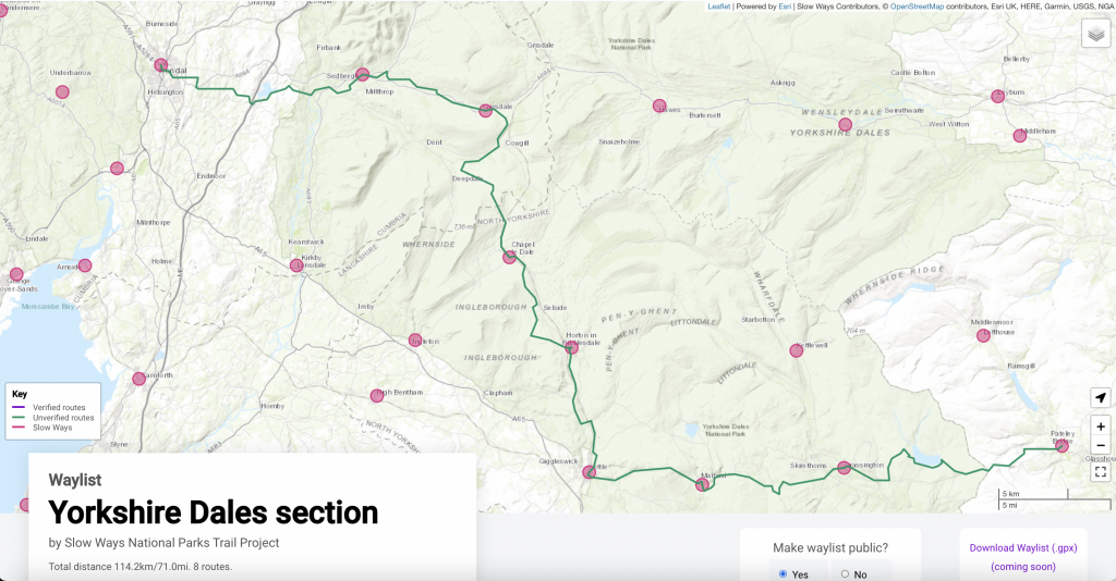
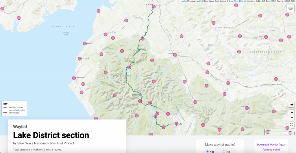
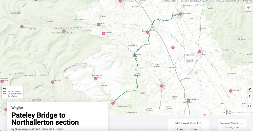
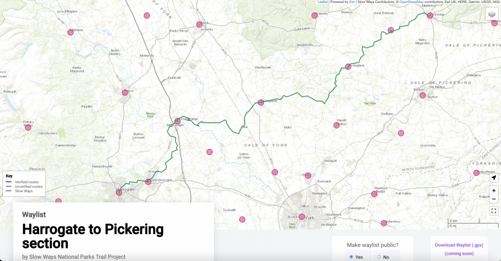
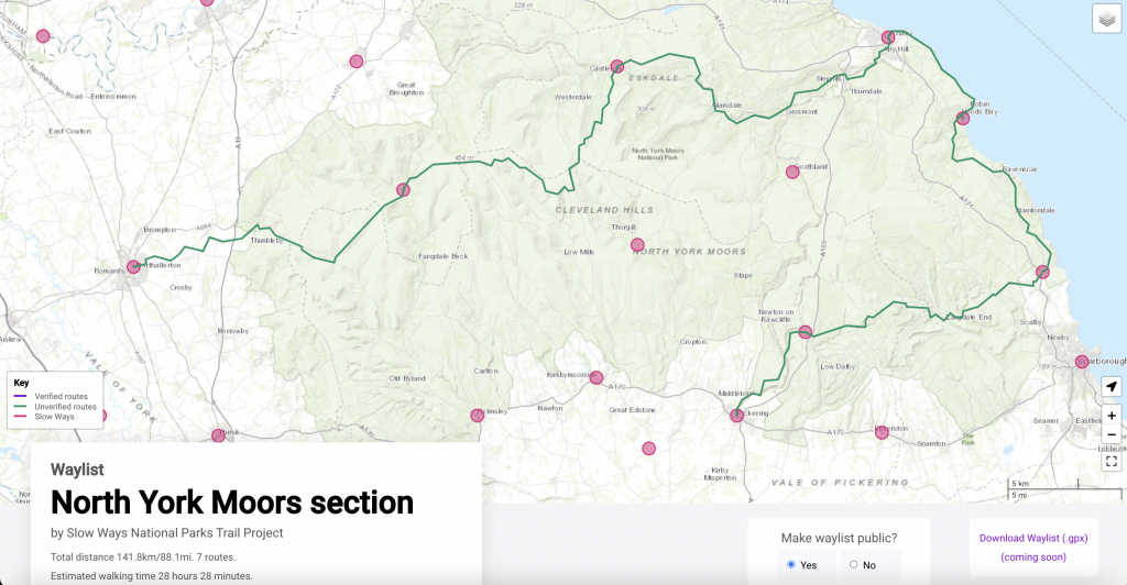
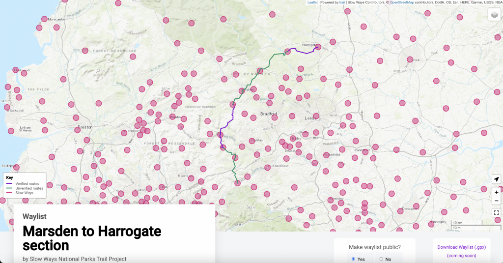
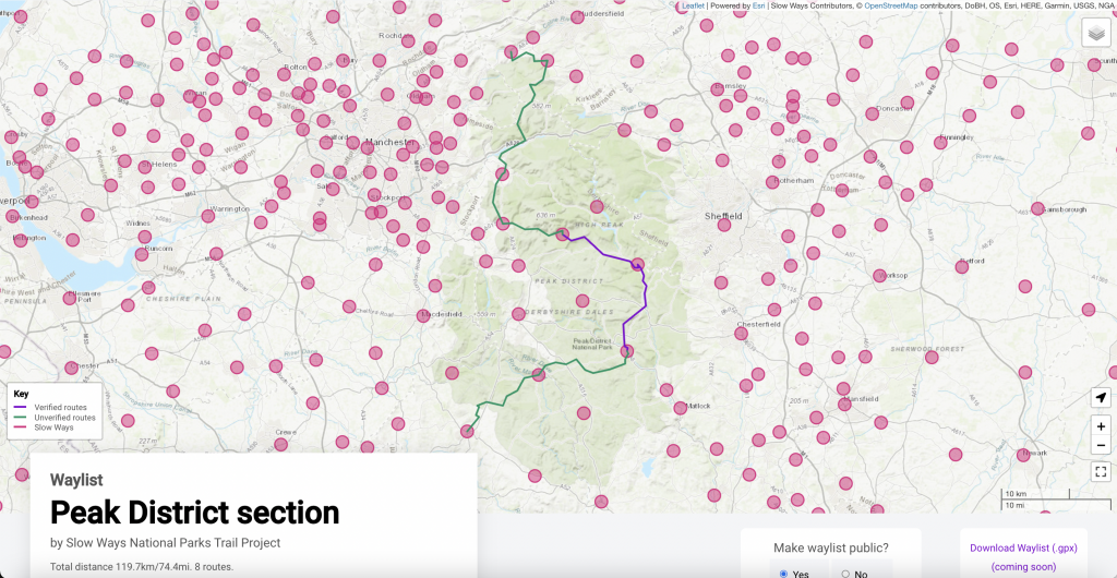
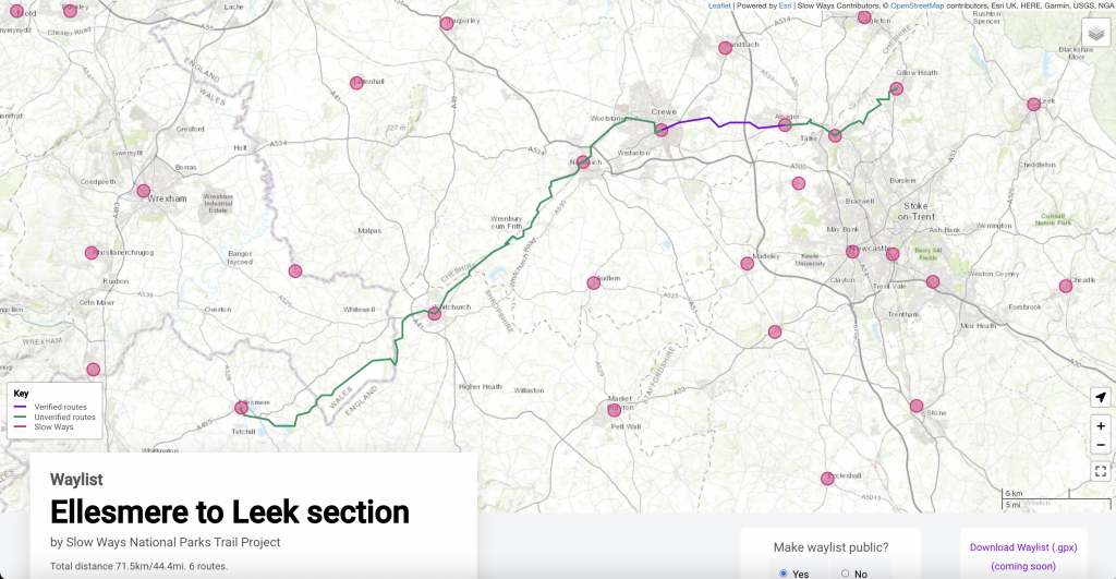
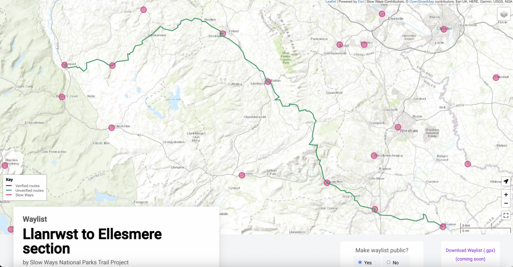
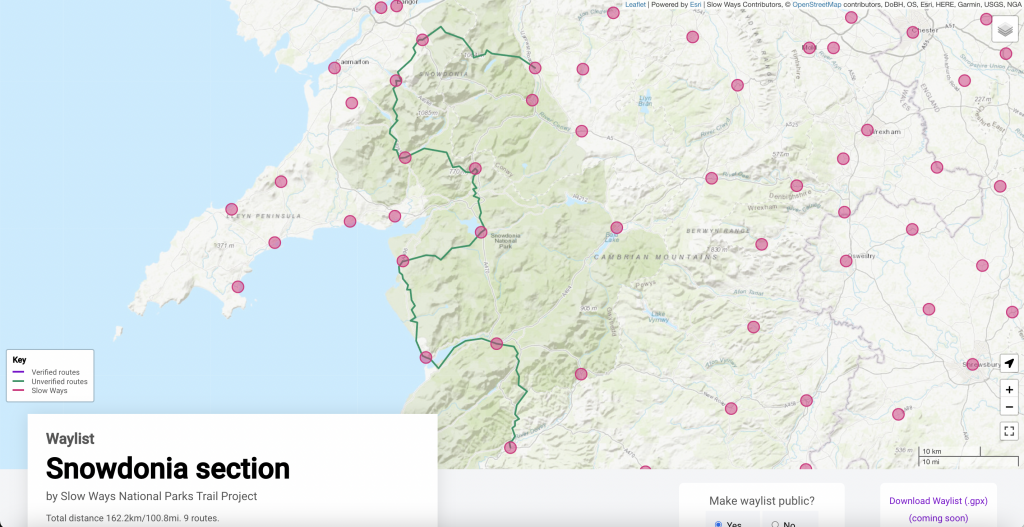
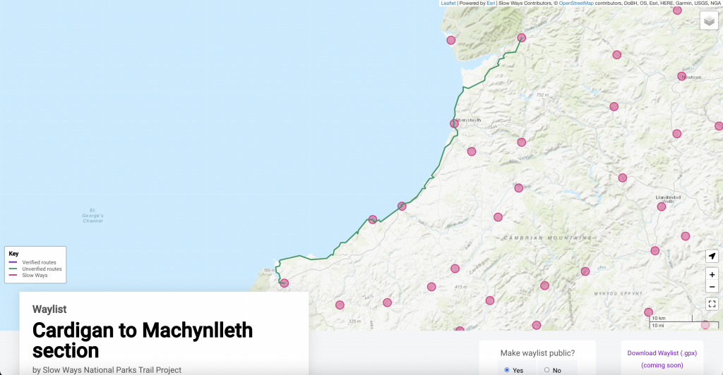
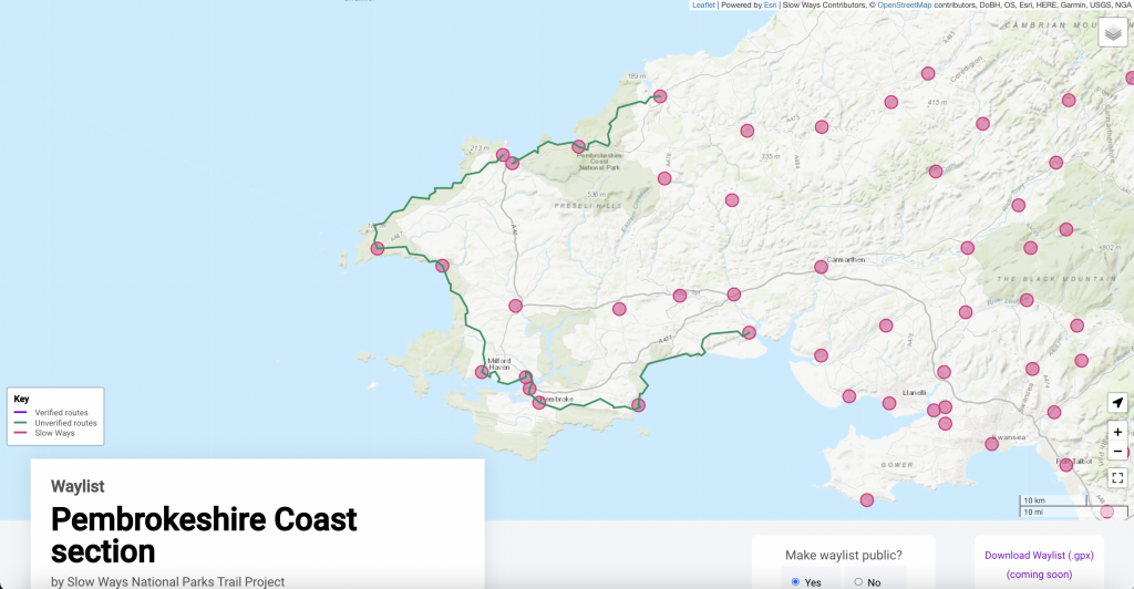
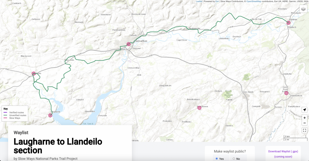
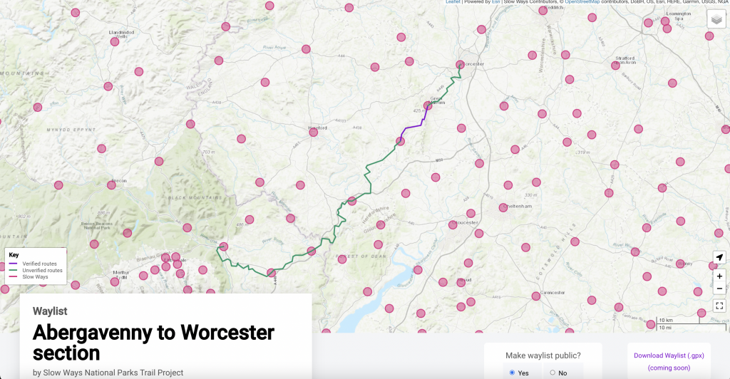
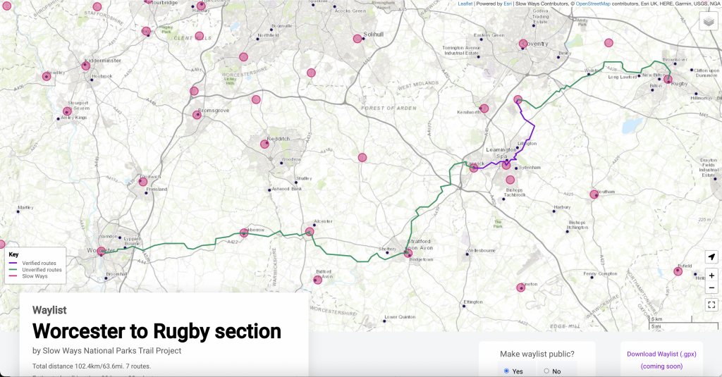
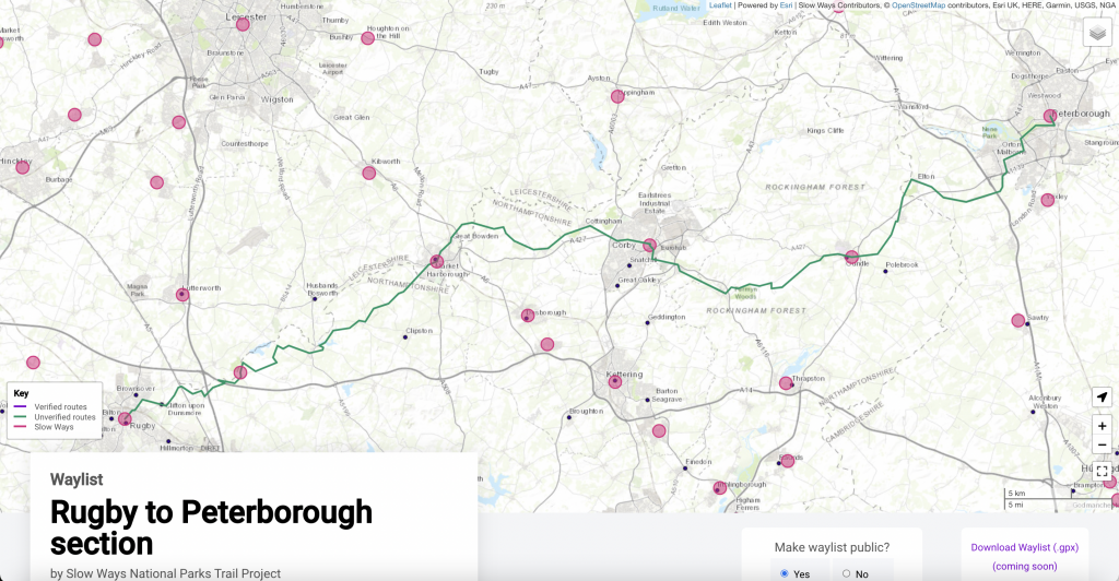
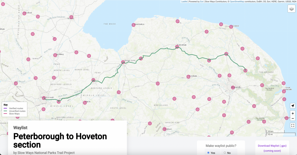
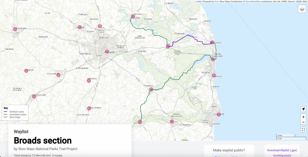
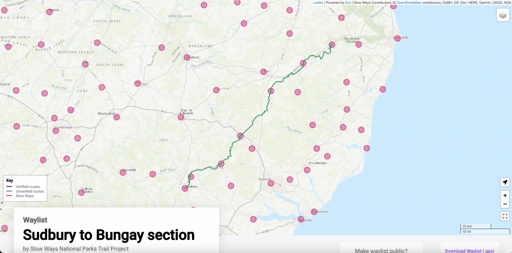
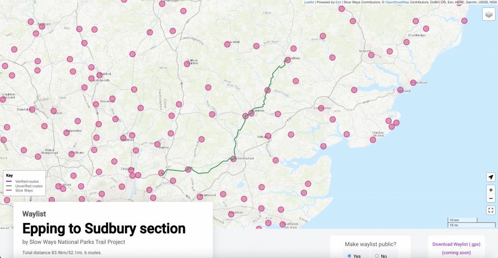
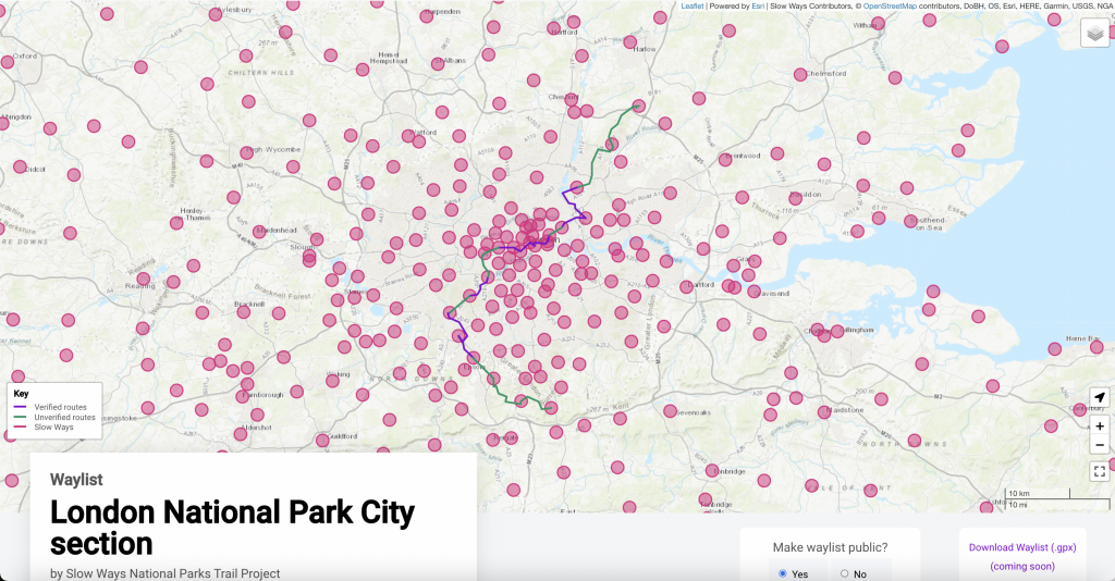
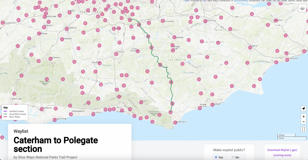
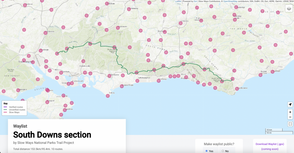
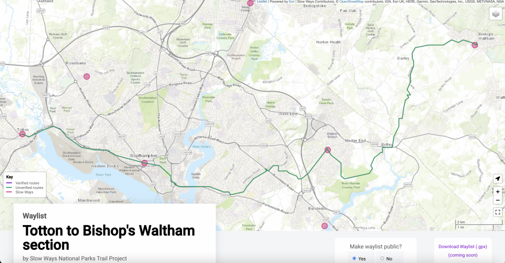
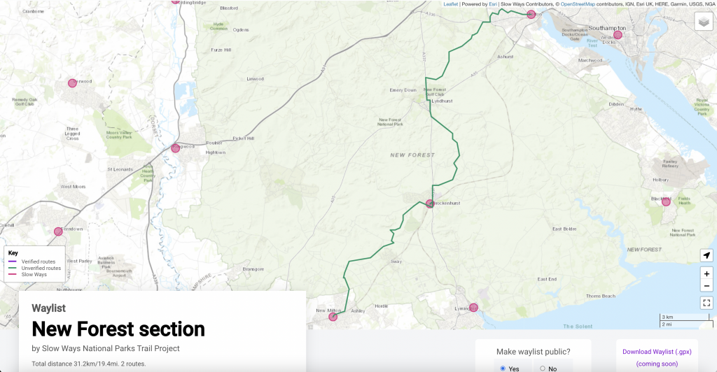
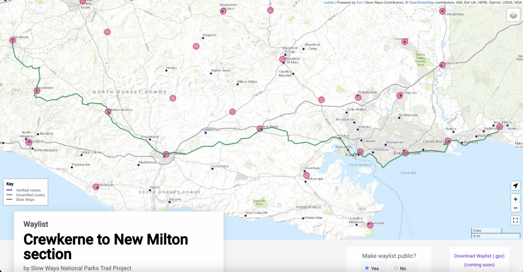
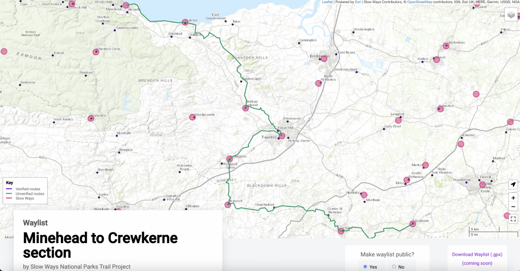
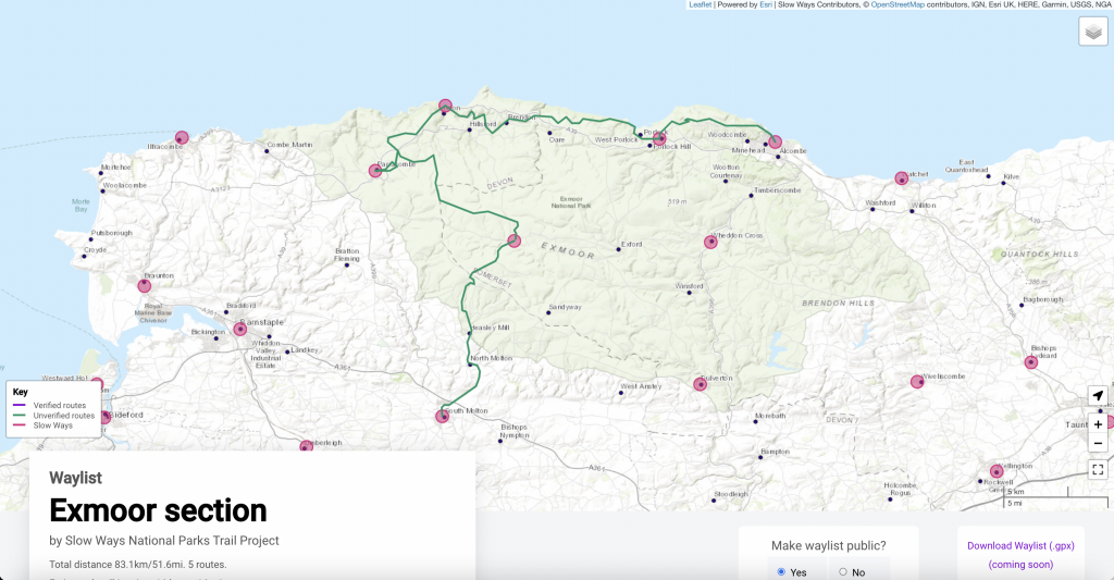
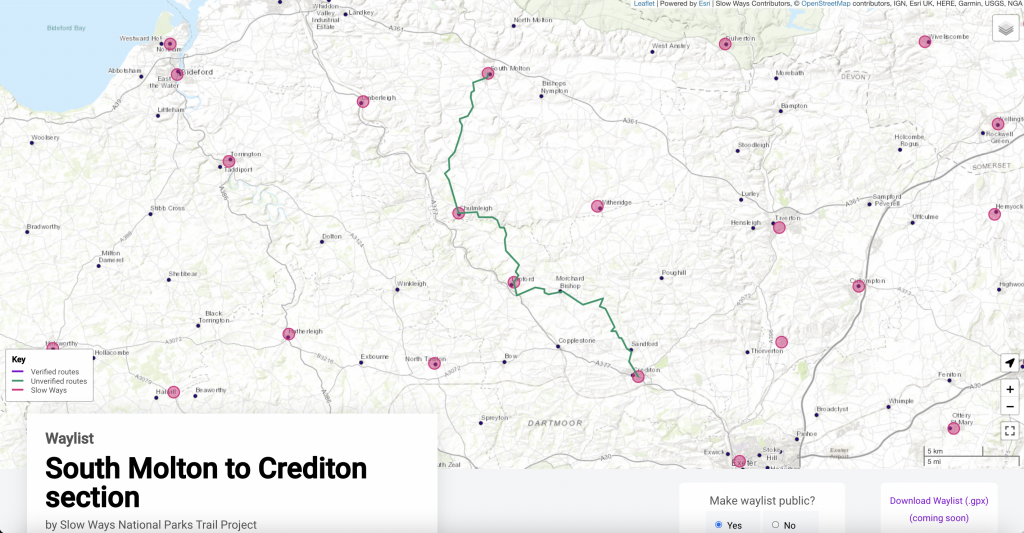
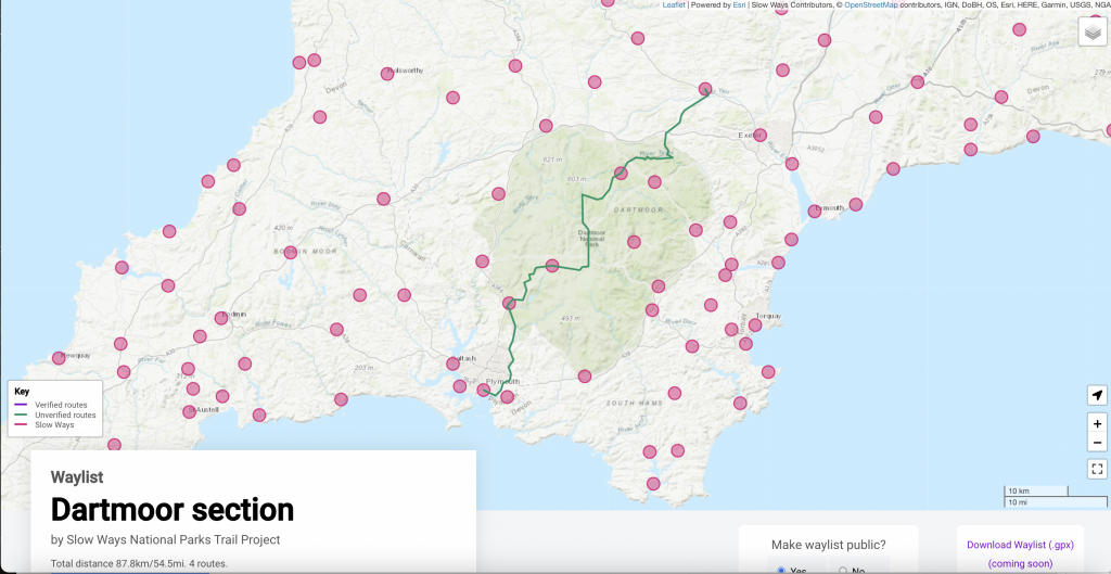
You can see the current trail on this waylist map.
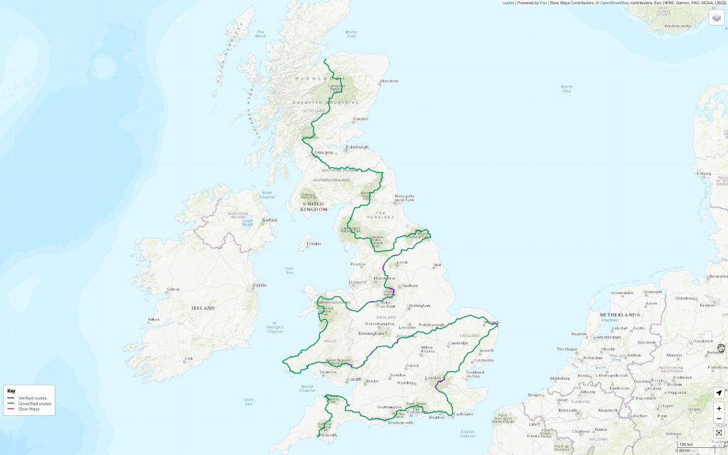
The purple routes have already been verified. That means they have received at least three positive reviews from volunteers. The green routes have been suggested and may have received one or two reviews, but are yet to be verified.
Our ambition is to verify all 249 Slow Ways turning the entire trail purple in the process.
48 have already been verified. There’s just 201 to go!
Are you up for giving a walk to help create this epic monster-trail?
Yes? Great! Here’s how you can help.
1. Choose a route, a series of routes or a section to walk
2. Walk or run it (or them)
3. Leave reviews for each of the routes you walk
It’s as simple as that. The more people who contribute the easier, quicker, stronger and better the project will be.
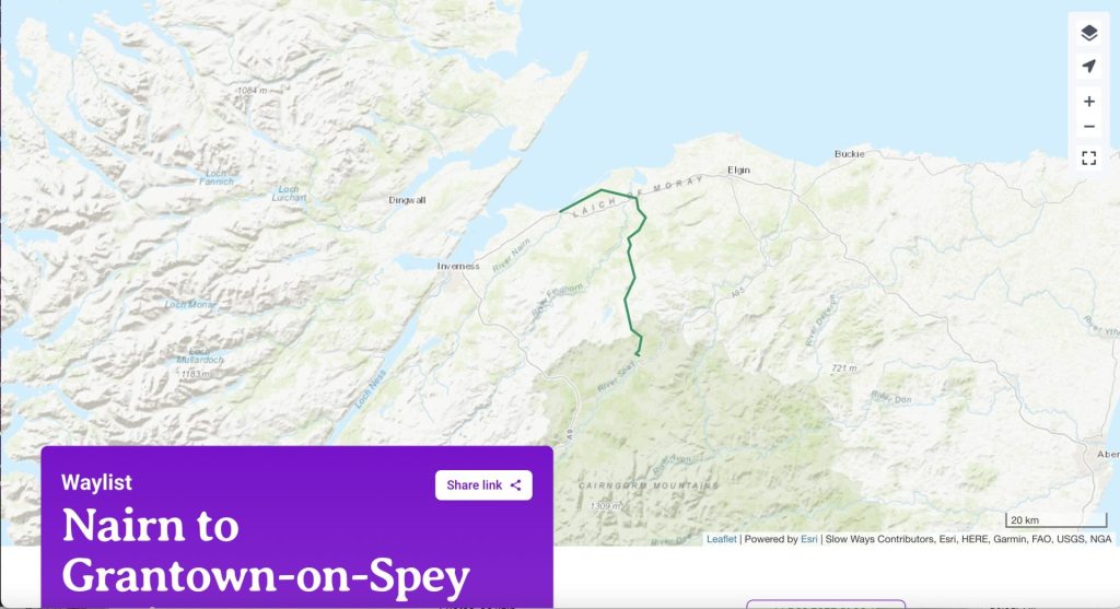
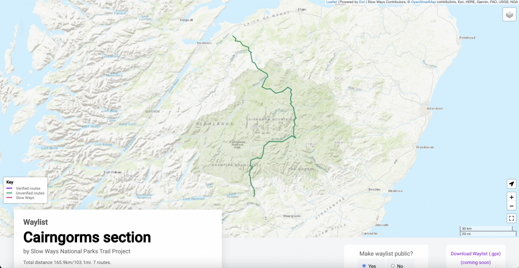
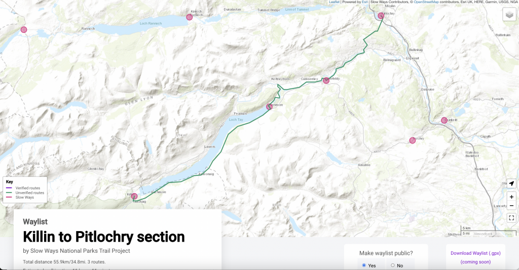
Click through on the maps below to explore where you might contribute to this mammoth effort. You could walk or run one route, cross an entire national park or even connect two national parks by hiking between them. Could a few routes in a national park be exactly what your new year is crying out for? Or perhaps you live on a stretch and want to make it your own!
Here are some important additional things for you to be aware of:
– Some routes will not work (that’s why we’re checking and verifying them). If that happens, you can upload a better route for people to walk and review. Let us know if that happens and we might switch or add the new route to the trail’s waylist.
– Most routes will be fine, but do check them carefully on a map before attempting to walk them. This is especially important for longer routes and those that go through remote country, especially if you are the first to pioneer them. Some routes may not be passable or could make use of dangerous roads.
– Slow Ways often have multiple route options, like Robclo which connects Robin Hood’s Bay and Cloughton. This Slow Way currently has three route options. As the trail project develops and we learn more about the routes, we might swap which routes we recommend. We might also decide to connect different places in the network or give people options of two different routes.
Helping with this project will not only result in the monster Slow Ways National Parks Trail. It will also help with our efforts to connect every town, city and national park in Great Britain with walked, reviewed, verified, surveyed, recommended and trusted routes. Imagine that!
Keep us updated with your plans, adventures and contributions at @SlowWaysUK on social media. Our hashtag is #SlowWays and we’re @SlowWaysUK on Twitter, Facebook and Instagram. We’d love to know where you are going, how you’ve got on and to see your photos.