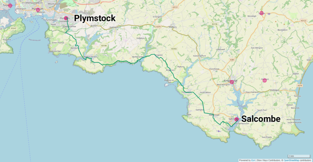
A twisting, turning Slow Way takes Helen from the Plymouth suburb of Plymstock to the seaside town of Salcombe. Despite numerous setbacks, including having to call it off for the day, she persisted with the 23 mile adventure of Plysal one
Each week the Slow Ways editorial team chooses a review from a volunteer we found particularly entertaining, and this week’s is a real speciality. On Plysal one, Helen faces down a nearly thirty mile long route, factoring in tide times, bus timetables and ferries with limited hours. Admitting defeat from factors far beyond her control, she returns to finish the route a week later.
We enjoyed this review because of Helen’s sheer tenacity. No doubt some of her experience could be described as “Type 2 Fun” (meaning it’s only entertaining after the fact) but it sounds like she enjoyed a real multi-day adventure anyway. Despite it all, she still managed to record clear instructions for the next person to use. Nobody else has reviewed Plysal one yet, so it will be interesting to see which brave soul steps up to the challenge next!
Plysal one
Helen C
24 June 2023
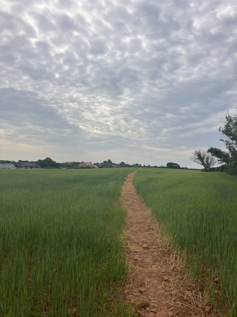
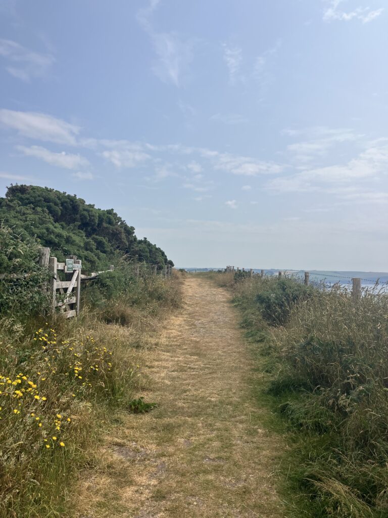
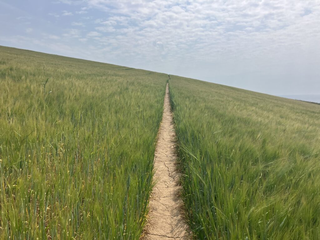
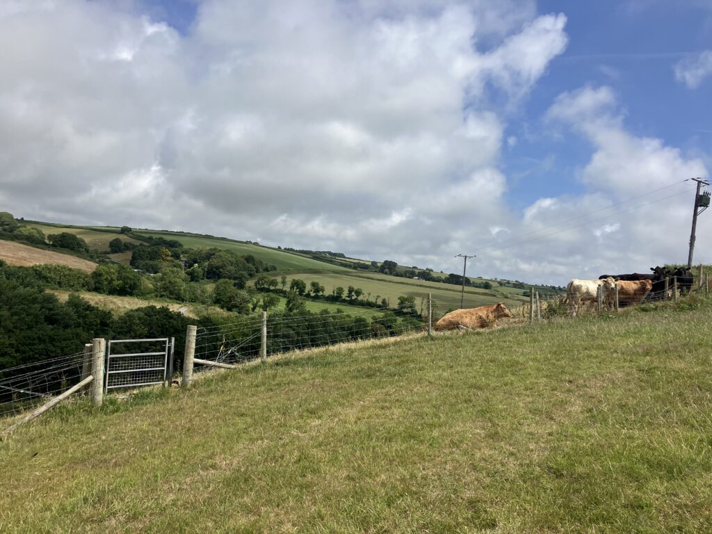
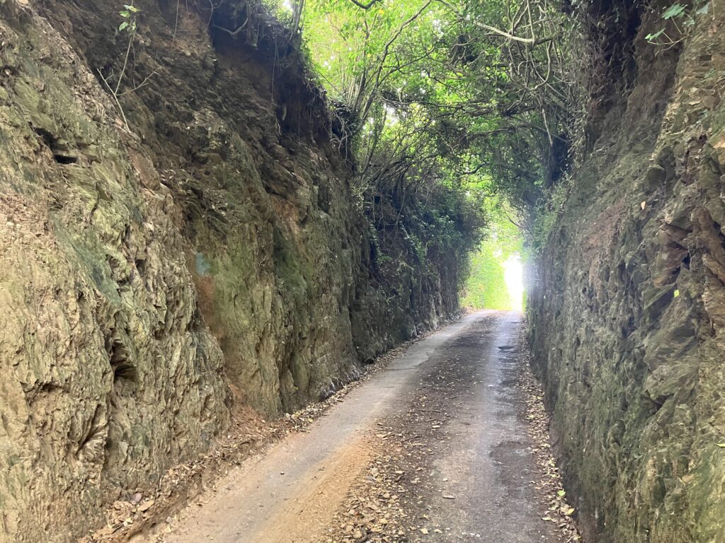
Walking this slow ways route was quite an adventure. I had an inkling it might be and that is what attracted me to it. I would recommend it partly for that reason, but it is a challenge. It is a great walk. You could just walk the south west coastal path all the way, but it would take considerably longer and you would miss some beautiful inland South Hams countryside, with its rolling green hills and pretty villages (and pubs). My walk was also memorable for the kindness of strangers I encountered on my way.
I mentioned it’s challenging. Firstly, it is a long one; I’d say more like 26-27 miles than 23 as the plotted route smooths out quite a few bends. Secondly, it needs planning to get the timing right for three river crossings – two seasonal ferries (at the Yealm and Avon), which have limited operating hours (10am-4pm, April-end September). In between those is a tidal footpath across the Erme estuary, which should only be attempted one hour either side of low tide. If you have to factor in public transport at either end it is even more of a challenge! If the stars are aligned, I think it is possible to do in one day. However, I would recommend that you plan or prepare to stay overnight partway just in case: there is a campsite en-route at Bigbury and numerous other accommodation options. Bear in mind that public transport is likely not an option, should you need to bail out along the route (as I discovered).
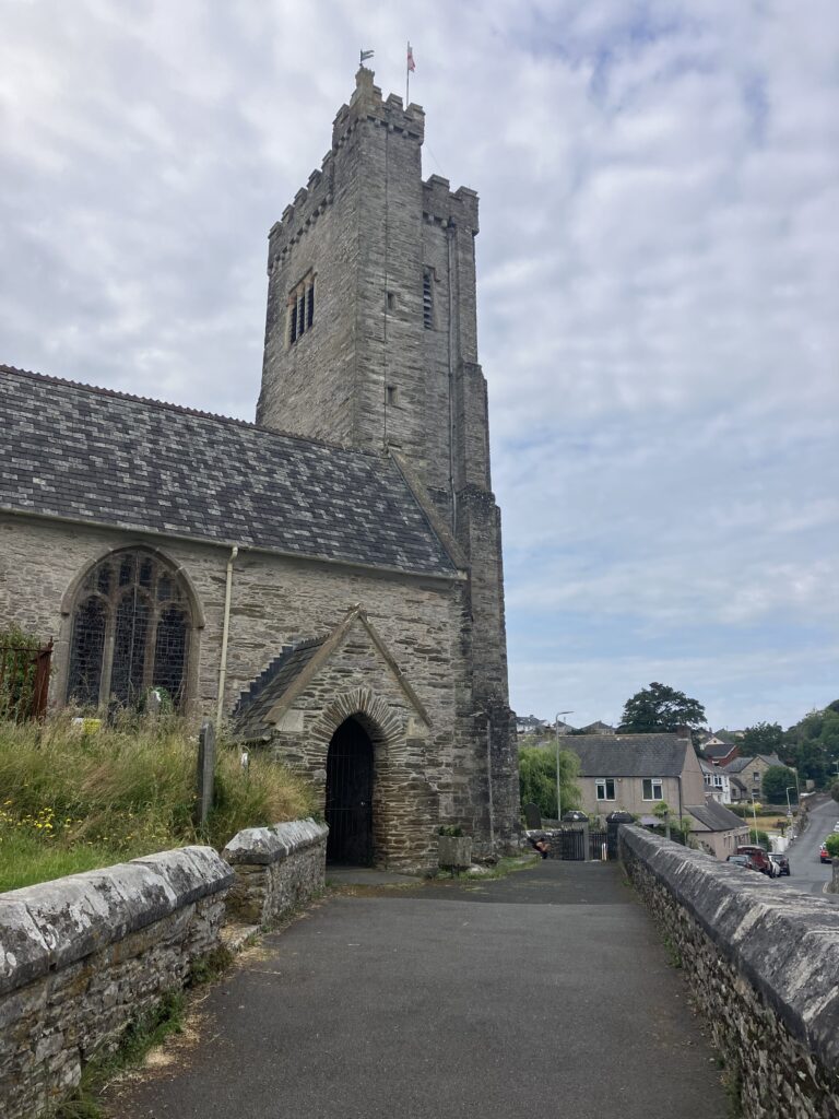
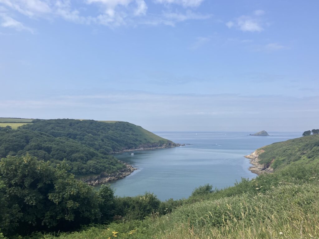
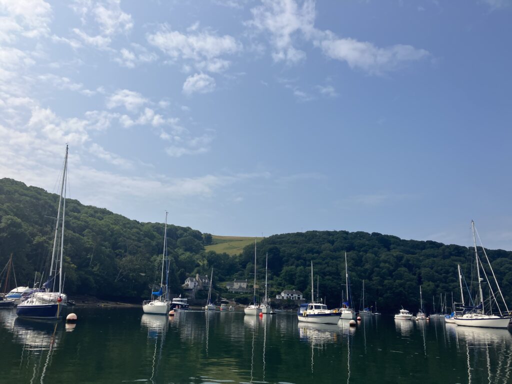
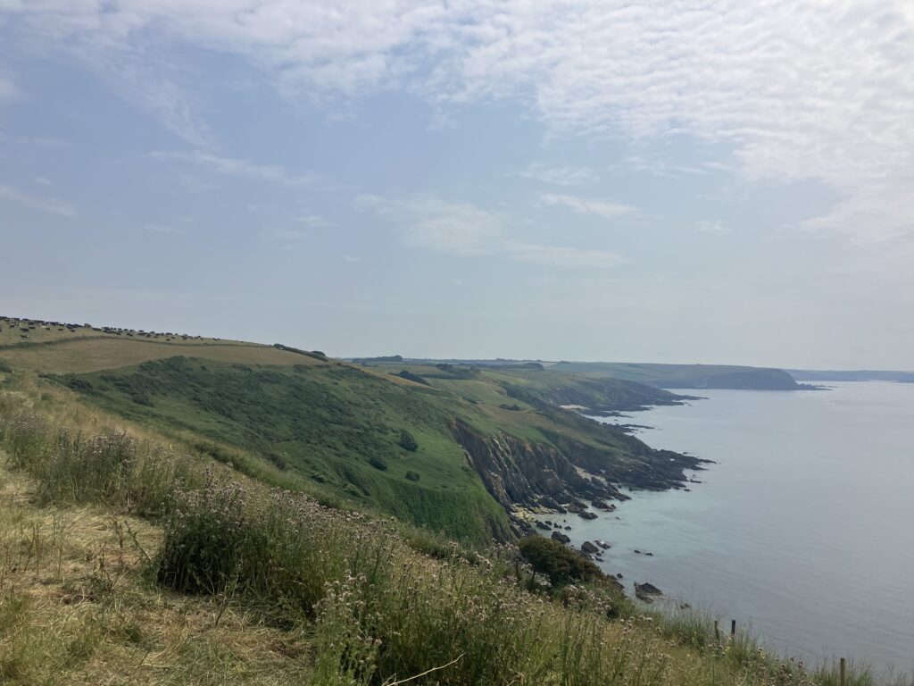
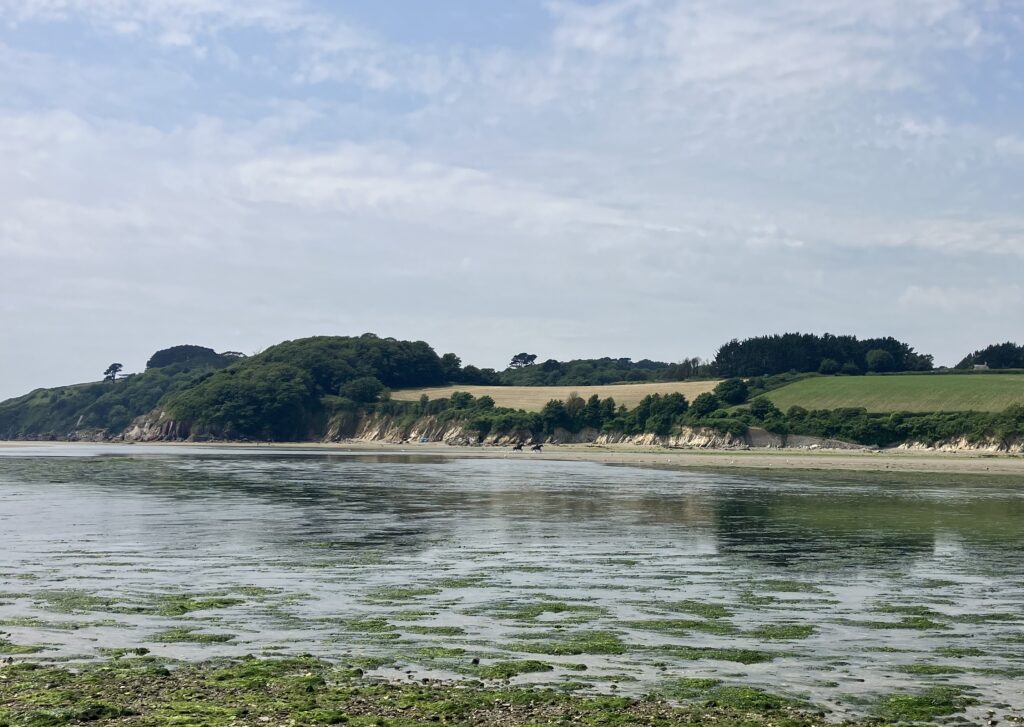
I planned to walk it in one day, as the tides were right and it was a lovely long midsummer day. Unfortunately my bus to Plymstock was delayed and so I started behind schedule. I made it to the River Yealm ferry, leaving the old village of Plymstock and following mostly field paths through Wembury, to join the south west coastal path and ferry (cash only) to Noss Mayo. From Noss Mayo it heads inland, following quiet lanes, before rejoining the coastal path, which it follows all the way to the Erme. An absolutely beautiful part of the coast.
The tidal footpath crossing of the Erme is a boots and socks off wading job. It’s just a question of how far up you need to roll your trouser legs. I arrived at the Erme a little after the low tide window and thought that even my shorts might get wet, but two lovely ladies on horses guided me to the shallowest fording point and it was not even knee-deep. Very refreshing.
The slow way again turns inland. I was distracted by views from the coastal path initially and had to backtrack, which added to my time. Back on track, I continued on footpaths and quiet lanes through the villages of Kingston and Ringmore, both of which have pubs. It was a sweltering day. A couple at a holiday cottage refilled my water bottles and tried to give me food (I think they were worried about my mental as well as physical wellbeing). They also thought I might just miss the Avon ferry at Bigbury. They were right. I had completed about two thirds of the way.
There are no bus services to Bigbury so, faced with a long walk inland, I knew I would be unable to continue to Salcombe that day. As I was considering the walk or taxi to the nearest bus route at Aveton Gifford, the traffic in the lane came to a halt. Seeing two ladies in a car, I took my chance and asked for a lift. It turned out they were heading nearly all my way home and were only to happy to help. They were dressed in vintage attire for afternoon tea at Burgh Island Hotel! I can’t say this would happen every day, hence my recommendation that you have a plan B if you have to abandon the slow way!
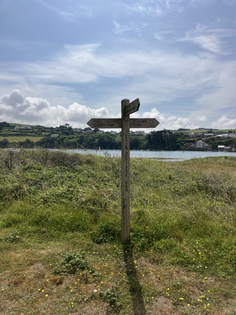
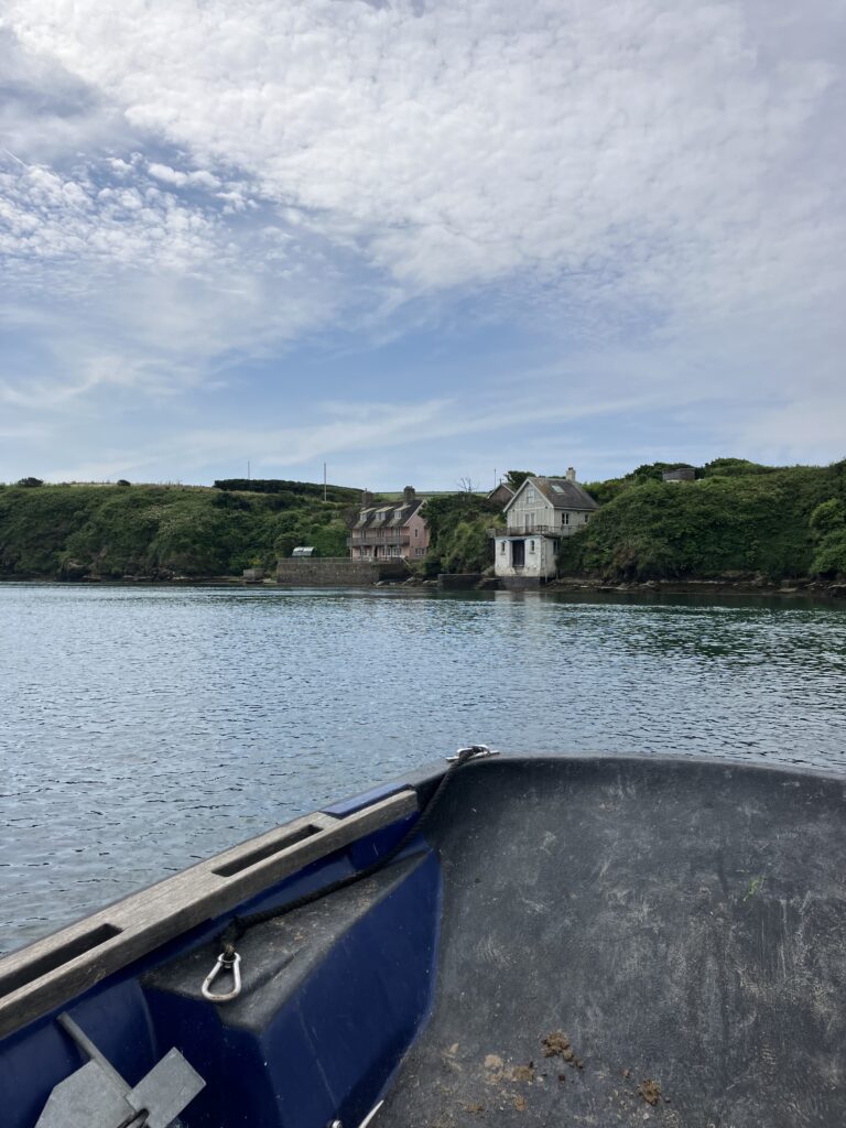
I continued my way the following week (after three buses and a 5.5 mile walk to get back to Bigbury!). The Avon ferry is hailed by ringing a bell and waving at the ferryman (or woman in this case). Again, the Slow Way heads inland, following footpaths and some quiet lanes.
The plotted route is not very accurate in places, but for the most part it is obvious from the underlying OS mapping what is intended. There are a couple of places where it is not so. In Thurlestone, head up the main village road, past the shop, then turn down Court Park Road (also footpath) to pick up the path through fields at Court Park to South Milton. Between South Milton and South Huish, it is also a bit off. Follow the lane to Horswell House, then onto a footpath. This joins an unsealed road, then turn off again onto a footpath to Holwell. Just before Holwell, a field gate was completely tied up. I had to climb over, so have reported this to the highway authority. Near South Huish Farm, there are a two possible choices as the plotted route is not obvious. Both are probably fine but, as the route generally heads east, that’s what I did, following the footpath through a field (cattle grazing) past Court Barton to meet a minor road. Continue along the road to Malborough, after which the plotted route is easy to follow on footpaths and quiet lanes into Salcombe. Beautiful views of the estuary as you approach.
This is an adventurous, recreational slow way, rather than a functional one, but very enjoyable. Just plan ahead!
For more of our favourite reviews from Slow Ways volunteers, click here. Want to help us grow the network of verified walking routes? Why not sign up to walk and review Slow Ways. You can also find and follow us on Instagram, Twitter and Facebook.